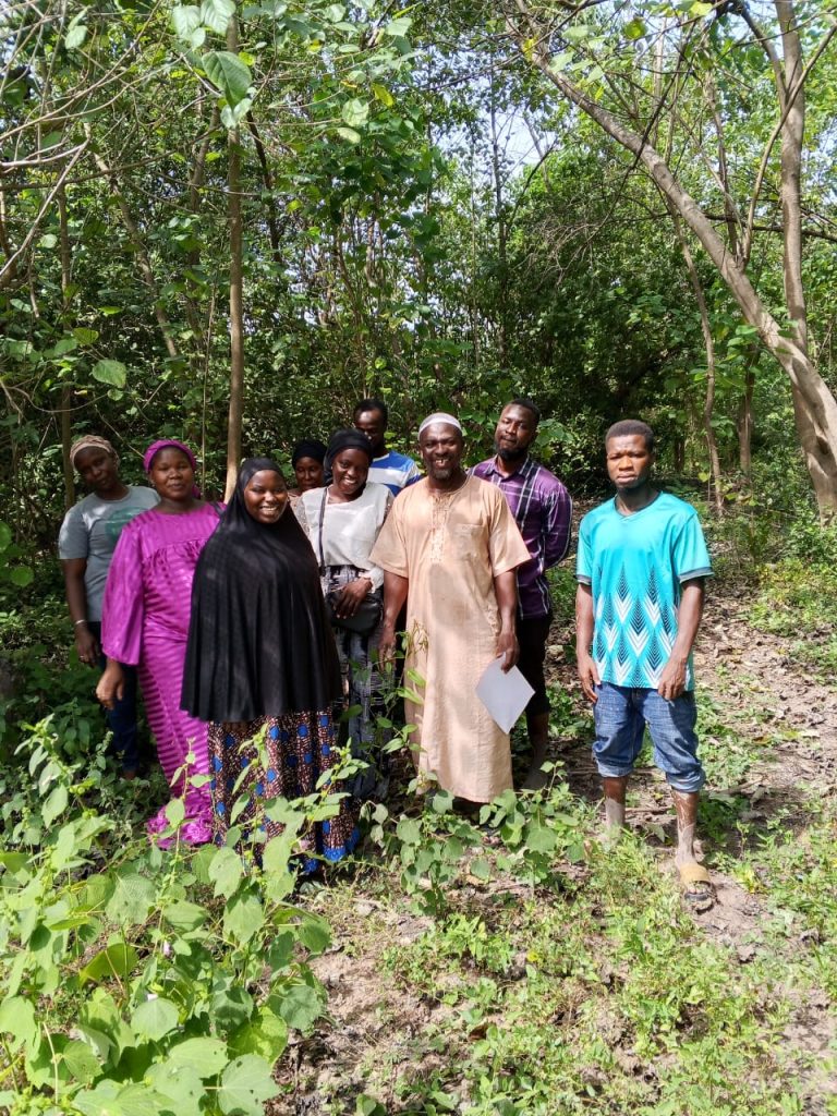
In November 2025, Kafuta Forest School hosted a hands-on mapping and forest monitoring training in Kiang West National Park. The event brought together forestry students who were eager to strengthen their skills in satellite based fire detection. Supported by Tesito, the training aimed to prepare young forestry professionals to protect forest landscapes in the face of climate risks and growing human pressure.
Forest monitoring is becoming increasingly important as bushfires remain the greatest threat to the forests of Gambia, especially those caused by human activity. Access to timely information is essential. For this reason, the training focused on NASA’s Fire Information for Resource Management System, a tool that provides near real time satellite observed fire activity.
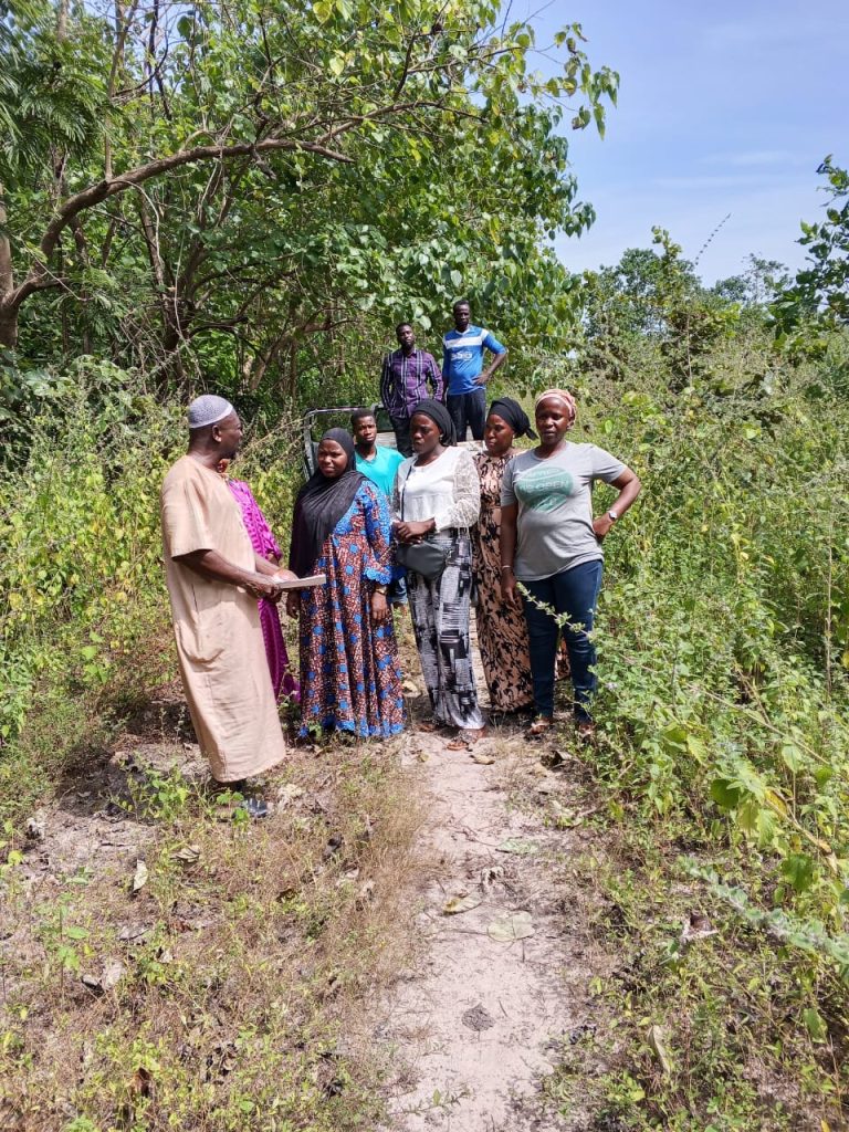
The entire session was led by Momodou Lamin Njai, Principal of the Forest School, who delivered the training after gaining new mapping skills during Tesito field trips. This experience in the Kiang West National Park gave him an ideal opportunity to share his knowledge and inspire students through practical learning.
The goal was simple yet meaningful. Students were given practical skills in accessing, visualizing, and interpreting fire data to support decision making, early warning systems, and forest protection strategies. Ten final year students from the National School of Forestry were selected based on strong academic performance and their interest in forest monitoring technologies.
The training began with an introduction to how modern tools can support forest monitoring and help detect early signs of fire. Students learned how technology enables them to identify risk areas quickly and understand what is happening on the ground. The group then explored the mapping tool, learning how to locate fire events, review recent activity, and download information that can support forest protection efforts.

Once the group felt comfortable, they examined real examples on the map, discussing where recent fires had occurred, how frequently they appeared, and what these patterns might reveal about the surrounding forests. To make the learning more practical, students worked in pairs to study fire activity from the past week in the West Coast Region. They compared day and night fire occurrences, considered possible causes, and shared their findings with the group.
During the practical field exercise, students carried out a close analysis of Dumbuto Forest Park and its surrounding areas. By reviewing recent data, they identified three small fire points detected within five kilometers of the park between the 5th and 11th of November 2025. The data also showed that the fires tended to occur in the afternoon, suggesting a link to human activity. Encouragingly, no large clusters of fire were detected inside the park itself, indicating that existing prevention and control measures appear to be effective. This exercise helped students connect satellite observations with real world forest management and understand how consistent monitoring can strengthen forest protection.
These insights enabled participants to link satellite based data with actual fire behavior and the challenges involved in forest management.
By the end of the session, students reported greater confidence in using the Fire Information for Resource Management System and a stronger understanding of how fire dynamics influence forest health. They also gained experience turning data into practical recommendations.
Several key suggestions emerged from the training, including integrating satellite based fire detection into the National School of Forestry curriculum and creating a student-led team to track and report fire activity. Strengthening collaboration with local forest stations was also recommended to help verify satellite data with field based observations.